Getting to Xochimilco from Mexico City

Where is Xochimilco located?

Address: Xochimilco, 16000, Mexico City, CDMX, Mexico

Find on maps

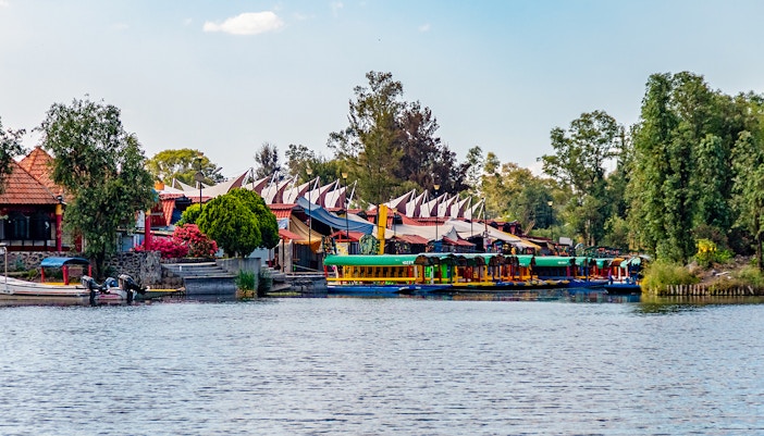
Tucked in the vibrant southern end of Mexico City, Xochimilco feels like a world apart, with canals, floating gardens, and festive trajineras replacing the usual city buzz. Though far from the skyscrapers of Reforma, it’s still very much part of the capital’s soul. The area blends ancient Aztec waterways with a lively local scene, street food, music, and tradition.

All about Xochimilco tours and tickets

How to get to Xochimilco from Mexico City

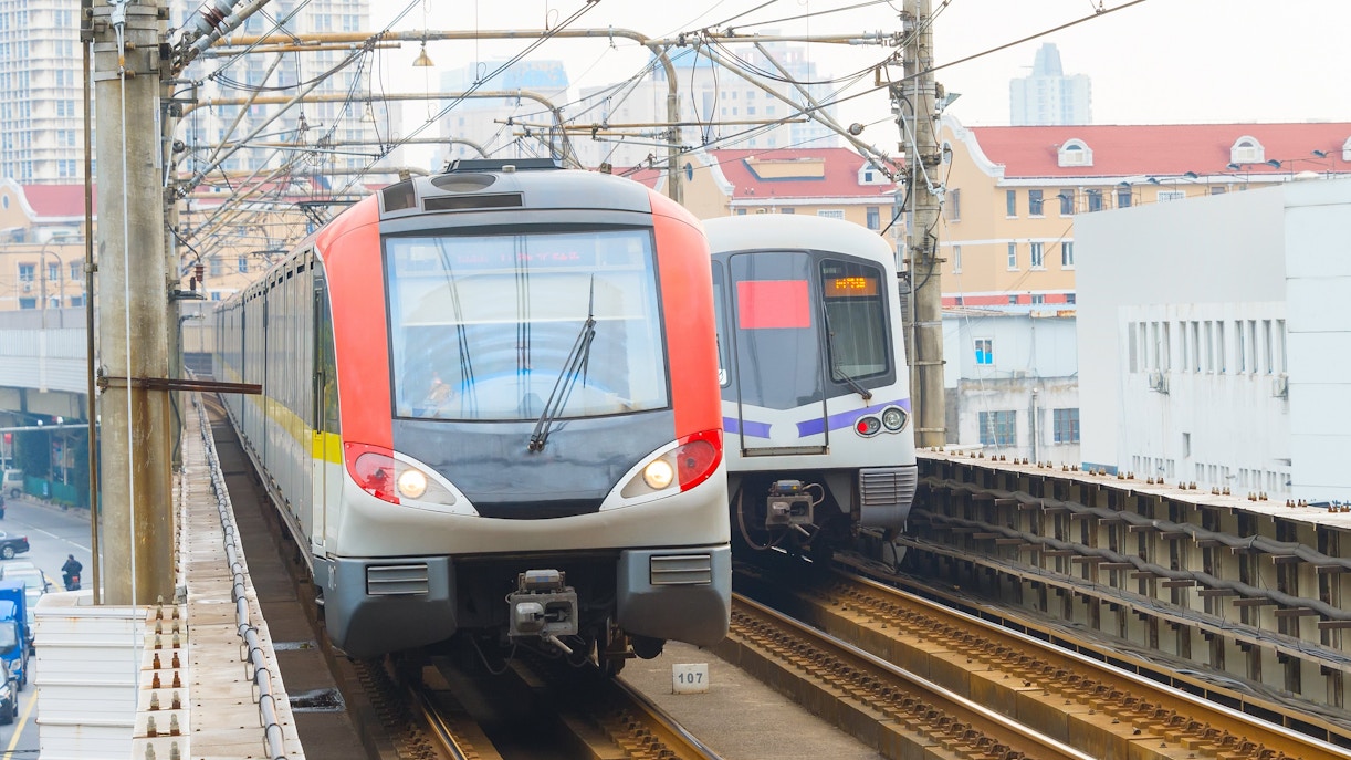
Shanghai metro trains on elevated tracks in urban area.

Travel time: 60–90 mins from Zócalo, Alameda Central, or Roma Norte.

Closest stop: Xochimilco Station (Tren Ligero), a 10–15 min walk or a short taxi ride to Embarcadero Nuevo Nativitas.

Timings: Metro: 5am–midnight daily. Tren Ligero: 5am–11pm.

Lines: Metro Line 2 (Blue) to Tasqueña, then transfer to the Tren Ligero toward Xochimilco.

Fare: Metro $5 MXN + Tren Ligero $3 MXN ($8 MXN total). Purchase a Tarjeta de Movilidad Integrada (MI Card) for $15 MXN if you don't already have one.

Accessibility: Most Metro Line 2 stations offer elevators or escalators. Tren Ligero trains have designated wheelchair spaces, though accessibility varies by station.

Description: From downtown Mexico City, take Metro Line 2 to Tasqueña, transfer to the Tren Ligero, and ride to Xochimilco Station. From there, walk or take a short taxi to your chosen embarcadero.

Tip: Buy and top up your MI Card before reaching Tasqueña to avoid queues.
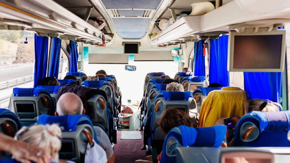
Passengers seated inside an air-conditioned tour bus.

Travel time: 90–150 mins from Zócalo, Coyoacán, or San Ángel.

Closest stop: Bus stops near Embarcadero Nuevo Nativitas (varies by route).

Timings: Most routes operate daily from approximately 5am–11pm.

Routes: RTP and local buses serving Xochimilco via Calzada de Tlalpan and surrounding neighborhoods.

Fare: Typically $6–$10 MXN, depending on the operator.

Accessibility: Low-floor buses are available on some routes, though accessibility varies by operator.

Description: Buses are a good option if you're staying in southern Mexico City and don't want to transfer to the light rail.

Tip: Check your route before departure, as different services stop at different embarcaderos.

Man driving a car on a city street.

Travel time: 40–60 mins from Mexico City's Historic Centre (Zócalo)

Distance: Approximately 27–32 km, depending on your chosen embarcadero.

Peak traffic hours: Weekdays 8–10am and 5–7pm; weekends around 10am–1pm.

Routes: Fastest via Anillo Periférico Sur or Calzada de Tlalpan. Both connect directly to the main embarcaderos, including Nuevo Nativitas and Cuemanco.

Restricted zones: None en route. Mexico City's Hoy No Circula driving restrictions may apply to certain vehicles on weekdays.

Accessibility: Most main embarcaderos offer accessible drop-off areas close to the docks, with short, mostly level walks to the boarding points.

Avoid the crowds—see best visiting times
Blue parking sign with arrow pointing right.

On-site parking: Available at most major embarcaderos, including Nuevo Nativitas, Cuemanco, and Fernando Celada.

Timings & charges: Typically MX$20–50 per vehicle (cash only). Lots usually operate during tour hours and fill up quickly on weekends.

Nearby parking:

  • Nuevo Nativitas Parking (on-site)
  • Cuemanco Parking (on-site)
  • Fernando Celada Parking (on-site)

Accessible parking: Dedicated accessible bays aren't consistently marked. Visitors with mobility needs should arrive early and use the official parking lots closest to their selected embarcadero.

Smiling taxi driver with passenger in the back seat.

Closest drop-off: Your chosen embarcadero, such as Embarcadero Nuevo Nativitas, Cuemanco, or Fernando Celada.

Travel time: 30–60 mins from Zócalo, Roma Norte, or Polanco, depending on traffic.

Estimated fare: $250–$500 MXN from central Mexico City. Fares may increase during peak hours (8–10am and 5–7pm) or periods of high demand.

Local taxis: Use licensed Sitio taxis from designated taxi ranks or book through hotel concierge services. Avoid unofficial taxis, especially around transport hubs.

Ride-hailing apps:

  • Uber: Widely available with upfront pricing and multiple vehicle options.
  • DiDi: Often offers competitive fares and frequent discounts.
  • Cabify: Available in Mexico City, with professional drivers and advance booking options.

Airport pickup: Taxis and ride-hailing services are available from designated pickup zones at Mexico City International Airport (AICM). Airport fares are generally higher than journeys from the city centre.

Accessibility: Accessible vehicles may be available through ride-hailing apps, though availability is limited and should be requested in advance.

Tip: Enter the exact embarcadero name instead of simply "Xochimilco" to avoid being dropped at the wrong dock.

Traffic, timing and practical tips

  • Daily peak traffic: Roads to Xochimilco are busiest 8–10am and 5–7pm on weekdays, especially along Calzada de Tlalpan and Periférico Sur.
  • Tourist peak hours: Expect the busiest embarcaderos between 11am and 3pm on weekends and public holidays.
  • Busy days: Día de los Muertos, Independence Day celebrations, school holidays, and long weekends bring larger crowds, road closures, and longer waits.
  • Switch transport: During heavy traffic, the Metro + Tren Ligero route is usually faster and more reliable than driving or taking a taxi.
  • Before you leave: Check Google Maps for traffic on Calzada de Tlalpan, Periférico Sur, and around your chosen embarcadero before setting off.

Plan your Xochimilco tour step by step

Frequently asked questions about getting to Xochimilco from Mexico City

Xochimilco is in the southern part of Mexico City, about 25 kilometers (15 miles) from the city center. It’s a vibrant borough known for its UNESCO-listed canals, colorful trajinera boats, floating gardens, and lively weekend vibes. Though technically within Mexico City, it feels like a charming escape into tradition, music, and nature.

More reads